Motorcycle Touring the Similkameen
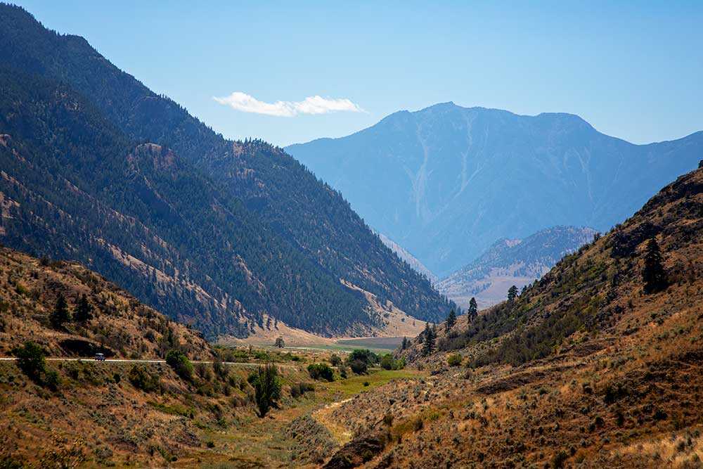
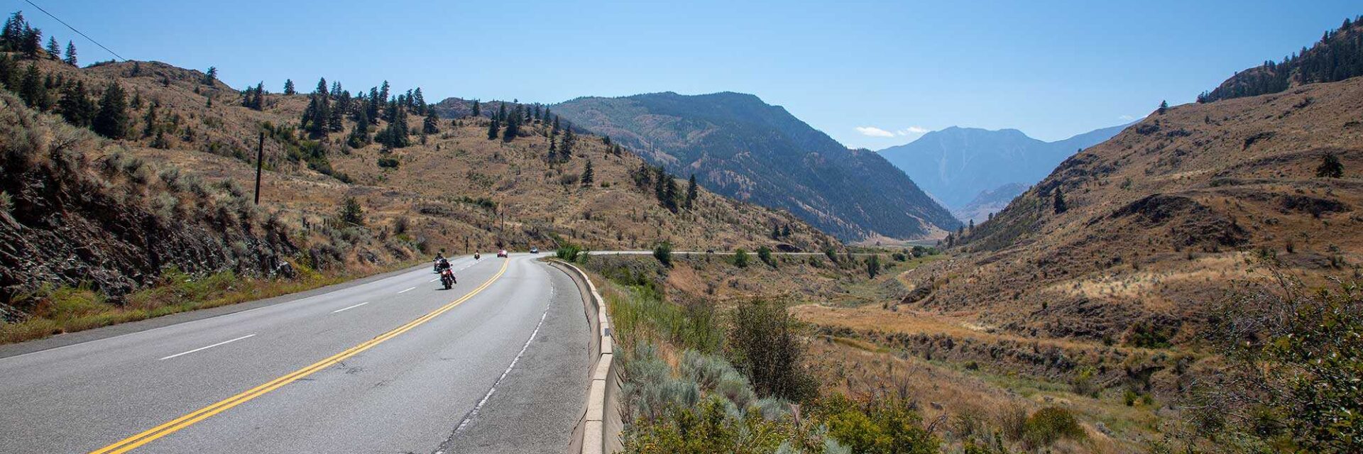
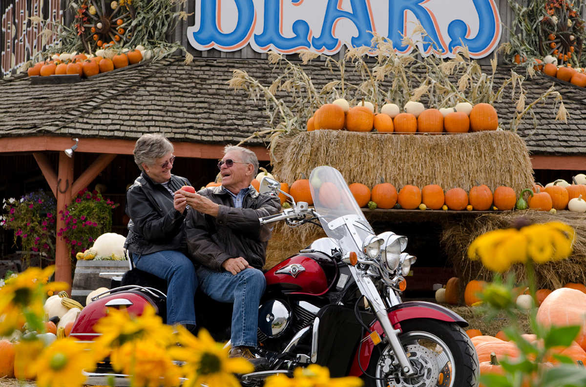
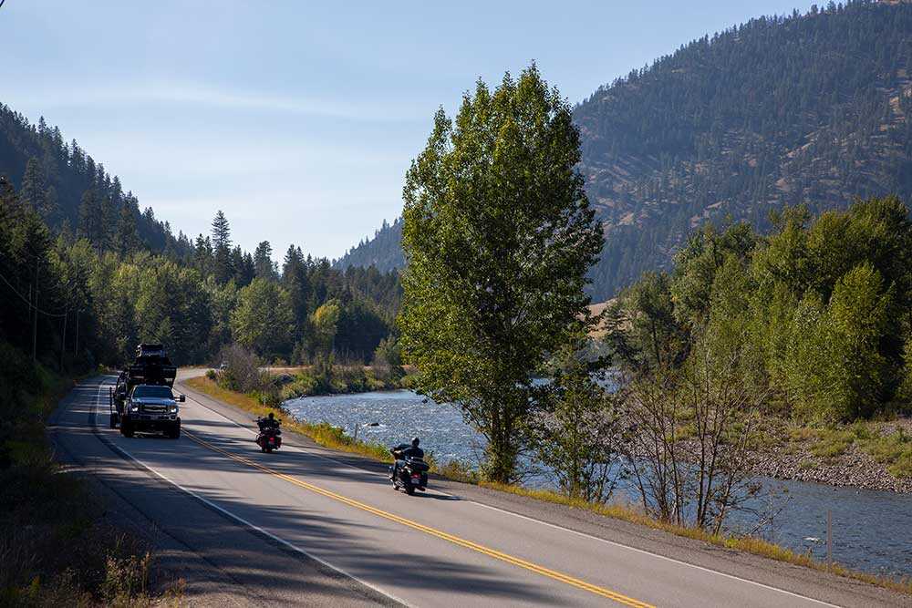
The partnership of the winding curves of the Crowsnest Highway (Hwy. 3), and the lush landscape of the Similkameen make the Valley a biker’s dream. Add in the beaches along the Similkameen River for pitstops and a bounty of roadside fruit stands, and now we’re cooking with gasoline. We’ve compiled some of the most popular rides in our region on this page. Check them out for yourself, or just hit the asphalt and let the open road guide your journey.
Similkameen – Okanagan Circle Route
If you’re looking to experience the varying terrain of British Columbia’s interior, this is the ride for you. This route takes you from valley floor, through mountain tops, down into the mix of verdant forest and rangeland of the Similkameen Valley. The route goes from Kelowna and onto the “Connector” (Hwy. 97C) which will guide you to Hwy 5A after 81 km (50 mi.). Head 90 km (56 mi.) on the 5A towards Princeton and then turn east on the Crowsnest (Hwy. 3) and ride through Hedley and Keremeos, before turning on Hwy 3A towards Penticton. After Penticton, hit Hwy. 97 and you’re on your way back to the starting point.
View Similkameen – Okanagan Circle route Map
Keremeos to Merritt (via Coalmont & Tulameen)
Another way to see a long stretch of the Similkameen Valley is to ride from Keremeos to Merritt. The ‘normal’ route would have you venturing through Hedley, followed by Princeton and then up Hwy. 5A to Merritt. To get the full Similkameen experience start Keremeos and continuing through Princeton towards Coalmont and Tulameen. Highway 3 is not a multi-lane highway, the roads are single lane with some passing lanes. Coalmont (pop. 100) and Tulameen (pop. 250) are two amazing hamlets to visit with plenty of outdoor activities in the surrounding area.
keremeos to merritt (via coalmont & tulameen) Map
Old Hedley Road
Cruise the same route that links to Spanish explorers and gold rush prospectors of old! Clocking in at 32-kilometers (20 mi.) long and stretching from Princeton to the historic mining town of Hedley, Old Hedley Road is a short but historically significant ride. In the late 19th century, Old Hedley Road was a wagon road that bore eager miners and their equipment and delivered them to (the now-defunct) Mascot Mine in Hedley and different parts of the Similkameen River. This route boasts a “pictograph stretch” which marks the indigenous heritage of the region with the remaining pictographs telling their own stories. Also, this route has a popular rest stop/swimming hole/campground at Bromley Rock Provincial Park which can’t be recommended enough for some R&R.
Old hedley road Map